GMT develops nationwide controlling and monitoring solutions using location-based data and integrated marine & land GIS technology,
including electronic charts, and provide navigation and digital communication equipment.

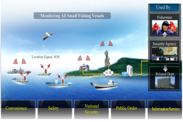
Fishing Boat Tracking
The world’s only multi-functional automatic location identification system which transmits location data in normal situation and sends out distress signal in case of emergency.

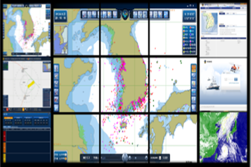
VTS
GMT proposes Next Generation VTS which is a Korean VTS solution capable of advanced surveillance with all the prior functions of VTS, multi-sensor integration, high lever of location tracking, decision-making support, and VTS interface.

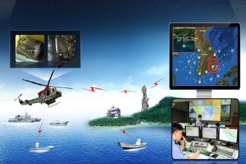
MC2IS
MC2IS
is the system which monitors and controls the maritime situation and accidents to manage
territorial sea in the command center.

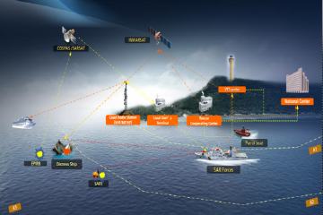
GMDSS
An integrated communications system using satellite and terrestrial radio-communications systems to ensuring that a ship can receive maritime safety information and send distress alerts.

ATMS
ATMS allows users to monitor aircraft’s
location through AIS transponder installed in aircrafts and vessels by sending
information to the ground control centers regularly for effective surveillance
and safe navigation purposes.

